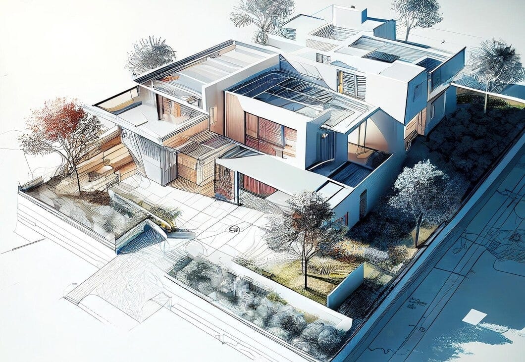
Creates a precise, georeferenced 3D as-built model (platform) for outdoor spaces. Models terrain, utilities, buildings, and vegetation as a shared data basis for all project stakeholders.
The platform precisely and systematically represents the existing condition of the outdoor spaces in a digital 3D model. It includes all relevant components such as terrain, geology, utilities, buildings, roads, and vegetation. All data is fully georeferenced in the Swiss coordinate system (LV95) and equipped with exact elevation information. The model establishes a unified understanding of the initial situation and can be gradually developed into a BIM reference model. Conflicts become visible early on and can be clearly communicated to all stakeholders, supporting coordinated and future-proof planning. Delivery is provided as a transparent, structured IFC model that can be used throughout the entire project lifecycle.
Providers:
Continuous data supplementation
Early conflict detection
Shading and solar radiation analysis
Structured data transfer (IFC)
Georeferencing & coordination
Modeling of inventory data