Navigator
Explore what MetaXD has to offer.
Explore what MetaXD has to offer.

Professional GIS services: from collecting and structuring geodata to developing web apps (Esri technology) and creating analyses and dashboards for infrastructure, municipalities, and open spaces.
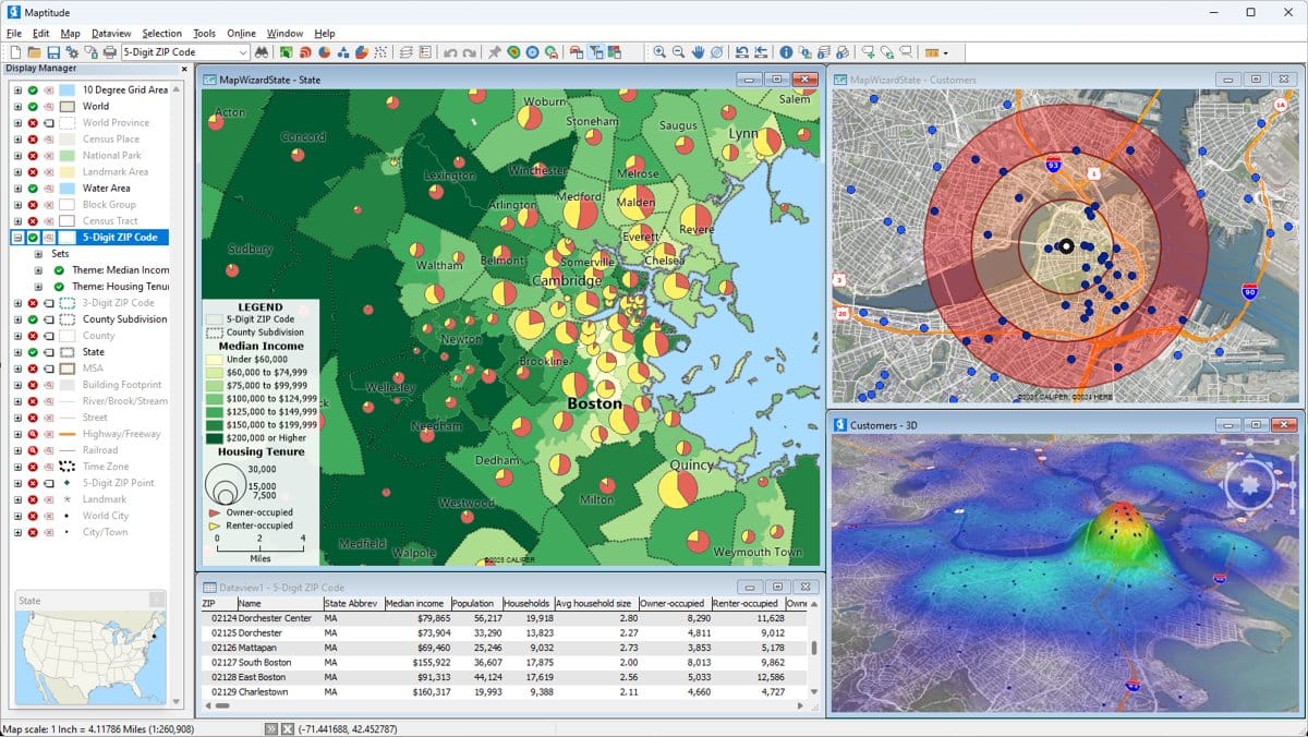
This service supports professionals and organizations in gathering foundational data and building geodatabases in a professional manner. It uses modern GIS technologies (e.g., from Esri) to enable digital collection, analysis, and visualization of spatial data for municipalities, infrastructure projects, or green space management. Tailor-made maps, interactive dashboards, and mobile applications are configured to provide a solid basis for decision-making. The offering also includes performing specific GIS analyses, practice-oriented training (e.g., for ArcGIS Online/Pro), as well as ongoing maintenance and updates of existing GIS systems.
Providers:
System maintenance and data migration
Training and support.
Analyses, maps & dashboards.
Development of GIS applications (Esri)
Design and development of geodatabases.
Collection and structuring of georeferenced base and thematic data.
Yes, you can add as many services as you need to your cart to generate a comprehensive quote.
Simply click the "X" button in the top right corner of the service inside your cart.
Click the Share button on the service page to copy the URL, which you can then easily paste and send to anyone.
Work items are the specific tasks and deliverables included in a service package. They show you exactly what actions will be taken when you choose that service.
Hover over or click the provider's icon on the service page. This will show you their background and explain how they are partnered with us.
Click the package icon to add the service to your cart. This icon is located below each service card, as well as at the top of the individual service page.
Go to the Marketplace and select "Filter by category". You can also browse the "More Services like this" section at the bottom of any individual service page.